Introduction to Geographic Personality Of Uttarakhand
Introduction to Uttarakhand Geography
Introduction to Geographic Personality Of Uttarakhand
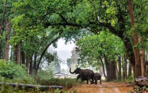
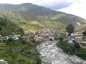
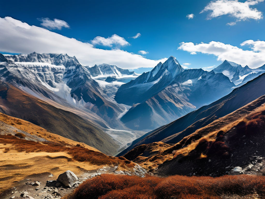
Nestled in the northern part of India, Uttarakhand is a state renowned for its breathtaking natural beauty and rich cultural heritage. Often referred to as “Devbhumi” or the Land of the Gods, Uttarakhand is home to numerous Hindu temples and pilgrimage centers, reflecting the deep-rooted spirituality of the region. The state’s diverse geography, comprising the majestic Himalayas, the Bhabhar, and the Terai, adds to its unique charm.
On 9th November 2000, Uttarakhand was carved out of the Himalayan and adjoining northwestern districts of Uttar Pradesh, becoming the 27th state of the Republic of India. Archaeological evidence suggests that humans have inhabited this region since prehistoric times, with the first major dynasties, the Kunindas, establishing themselves in the 2nd century BC. Buddhism also found its way into the region, as evidenced by Ashokan edicts at Kalsi.
During the medieval period, the Kumaon Kingdom and Garhwal Kingdom consolidated their rule over the region, which later fell to the Gorkha Empire of Nepal in 1803. With the conclusion of the Anglo-Nepalese War in 1816, most of modern Uttarakhand was ceded to the British as part of the Treaty of Sugauli. The erstwhile hill kingdoms of Garhwal and Kumaon, despite being traditional rivals, shared strong bonds due to their geographical proximity and cultural similarities. These bonds further strengthened during the Uttarakhand movement for statehood in the 1990s.
The name “Uttarakhand” is derived from the Sanskrit words “Uttara” meaning North, and “Khand” meaning Land, simply translating to Northern Land. The region finds mention in ancient Hindu scriptures as the combined region of “Kedarkhand” (present-day Garhwal) and “Manaskhand” (present-day Kumaon). Ancient rock paintings, rock shelters, paleolithic stone tools, and megaliths provide evidence that the mountains of the region have been inhabited since prehistoric times.
Throughout its history, Uttarakhand has been ruled by various dynasties, including the Pauravas, Kushanas, Kunindas, Guptas, Gurjara-Pratiharas, Katyuris, Raikas, Palas, Chands, Parmars or Panwars, Sikhs, and the British. The region was originally settled by the Kol people, an aboriginal Austro-Asiatic tribe, who were later joined by the Indo-Aryan Khasas tribe during the Vedic period (1700-1100 BCE). The area also served as a habitat for Rishis and Sadhus, with the sage Vyasa believed to have scripted the Hindu epic Mahabharata here.
After India attained independence from the British, the Garhwal Kingdom was merged into the state of Uttar Pradesh. Uttarakhand, as we know it today, was formed from the Garhwal and Kumaon Divisions, gaining significant momentum in the 1994 Uttarakhand movement for separate statehood. Following the passage of the Uttar Pradesh Reorganisation Act 2000, Uttarakhand officially became the 27th state of India on 9th November 2000.
In this unit, we delve into the geographic importance of Uttarakhand, exploring its diverse landscapes, unique climate, and the various ways in which these factors have shaped the state’s history, culture, and development.
Introduction to Geographic Personality Of Uttarakhand:
- Q: What is the geographic significance of Uttarakhand?
A: Uttarakhand’s geography, including the Himalayas, Bhabhar, and Terai, has shaped its history, culture, and development, making it a region of immense natural beauty and spiritual significance. - Q: How has Uttarakhand’s geography influenced its cultural heritage?
A: The state’s diverse geography has given rise to a rich cultural heritage, with various tribes and communities contributing to a unique blend of traditions, languages, and customs. - Q: What are the main geographical features of Uttarakhand?
A: The main geographical features of Uttarakhand include the Himalayas, the Bhabhar, and the Terai, each with its distinct landscapes, climate, and ecology.